Geographical Inquiry
Throughout this unit you have designed a geographical inquiry, examined secondary sources and completed fieldwork.
Refer back to the planning you completed at the beginning of the unit.
Review and process geographical information
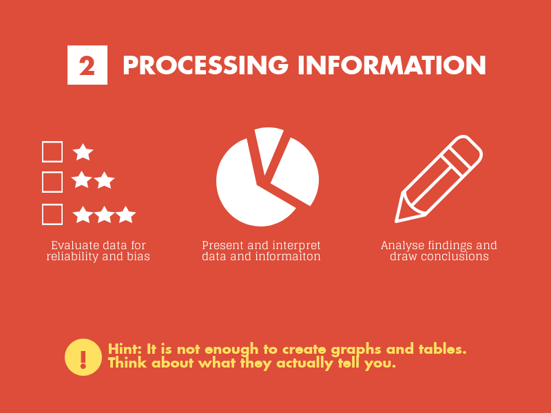
Review the sources of information you have used. Is each source reliable? Are some of the sources influenced by bias? Are all of the sources useful? Make judgements about which information you will use to complete your geographic inquiry.
You have already processed geographical information throughout this unit. Examples of some of the activities you have already completed are:
- represented the spatial distribution of geographic phenomena on maps
- used spatial technologies to examine changing places
- used geographical information systems to analyse geographical data and make predictions.
Refer back to the planning you completed at the beginning of the unit.
Review and process geographical information
Review the sources of information you have used. Is each source reliable? Are some of the sources influenced by bias? Are all of the sources useful? Make judgements about which information you will use to complete your geographic inquiry.
You have already processed geographical information throughout this unit. Examples of some of the activities you have already completed are:
- represented the spatial distribution of geographic phenomena on maps
- used spatial technologies to examine changing places
- used geographical information systems to analyse geographical data and make predictions.
Collate all of your work that relates to your inquiry question.
Communicate geographical information
Consider: How will you present this information?
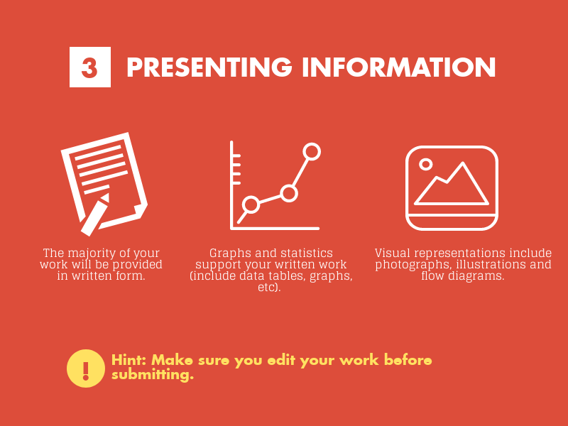
Present your findings, arguments and explanations that address your inquiry question.
Propose action that can be taken to ensure environmental, economic and social sustainability. What might be the outcomes and consequences of the action you are proposing?
Edit your work:
- have you used correct capitalisation, punctuation and grammar?
- have you used a range of geographic terminology?
- is your inquiry well set out and easy to follow?
