Sydenham to Bankstown
Consolidation - Planned Precincts and Growth Areas
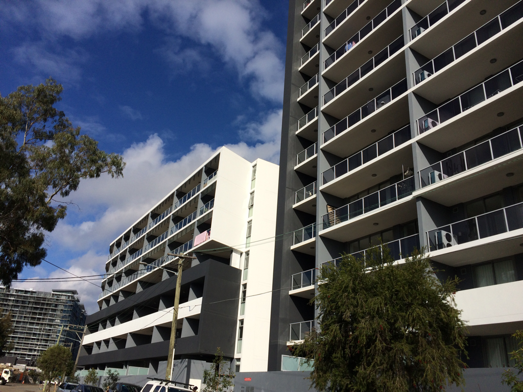
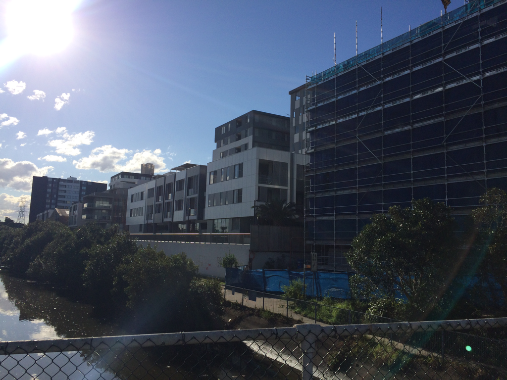
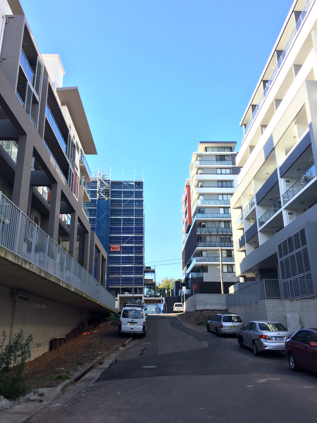
The NSW Government has released a revised Sydenham to Bankstown Urban Renewal Strategy for public comment. The strategy will be implemented over 20 years and sees plans for urban consolidation and retail opportunities along the a new metro line which will replace the existing train line and link with the Metroline being built in Sydney's north west. It includes the creation of over 35,000 new homes.
Planned Precincts are areas where development will be concentrated. Developments in these areas will include buildings up to 25 storeys high. Marrickville will have an increase in homes of 84%, while Canterbury will increase by 208%. Some suburbs such as Dulwich Hill and Hurlstone Park have had a reduction in the number of new dwellings proposed compared to the previous plan released, but will still have substantial increases.

|
|
Lesson Activity: Planned Precinct
Define the terms low-density, medium-density and high-density. Describe the advantages and disadvantages of each type of housing.
Examine: http://www.planning.nsw.gov.au/Plans-for-your-area/Priority-Growth-Areas-and-Precincts/Sydenham-to-Bankstown-Urban-Renewal-Corridor/Map
Outline the changes that will occur in each Inner West suburb as a result of the Sydenham to Bankstown Planned Precinct.
Assess how the new Metroline will support population growth in the Urban Activation Precincts.
